Our Work

Projects

A selection of surveying, GIS, and land advisory work delivered for government and private clients across Kenya.

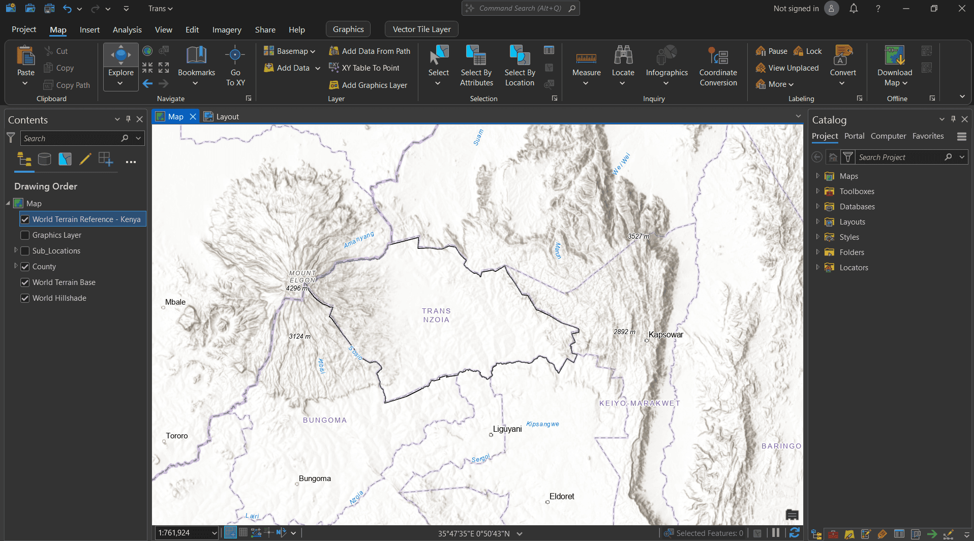
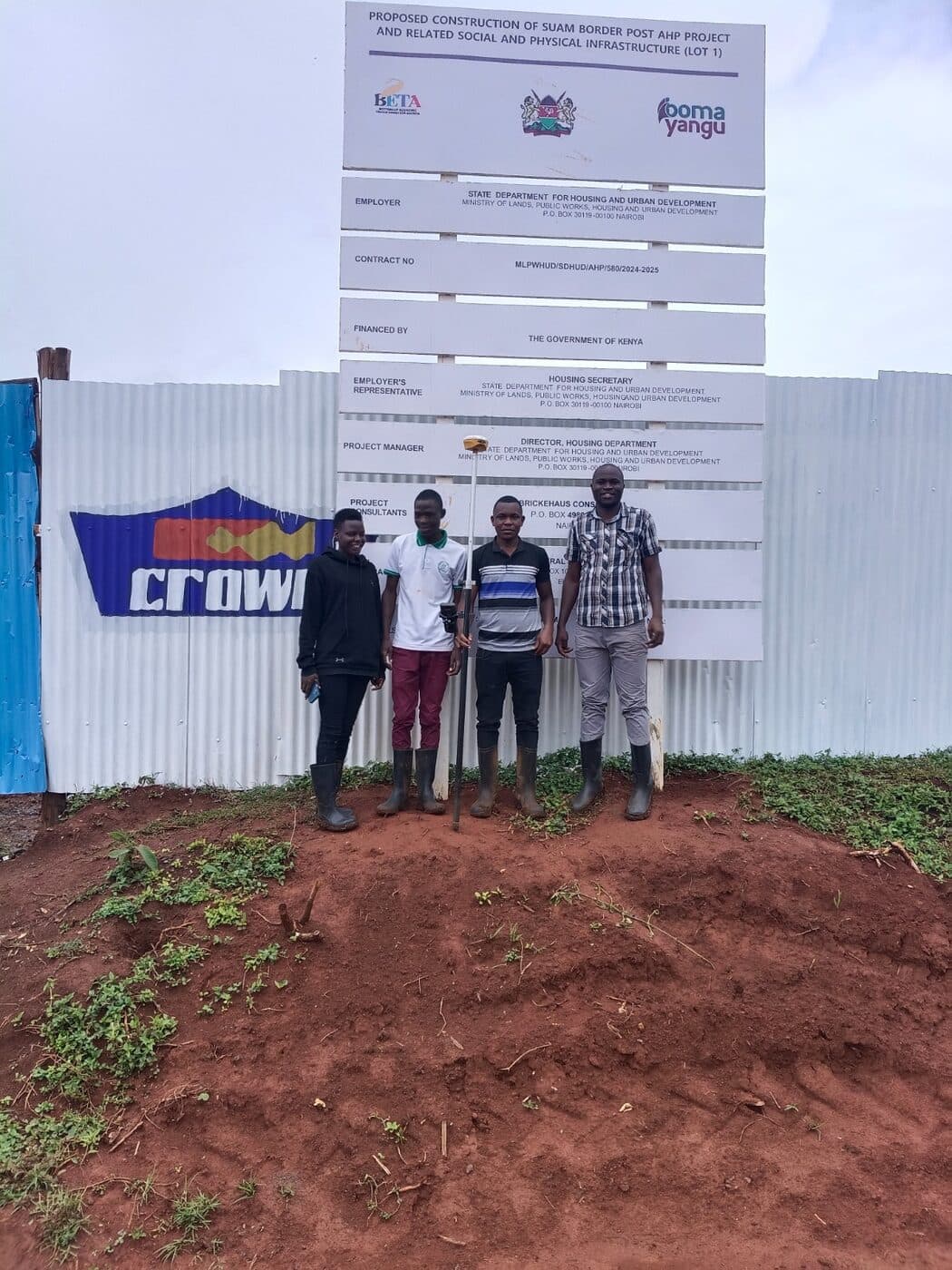
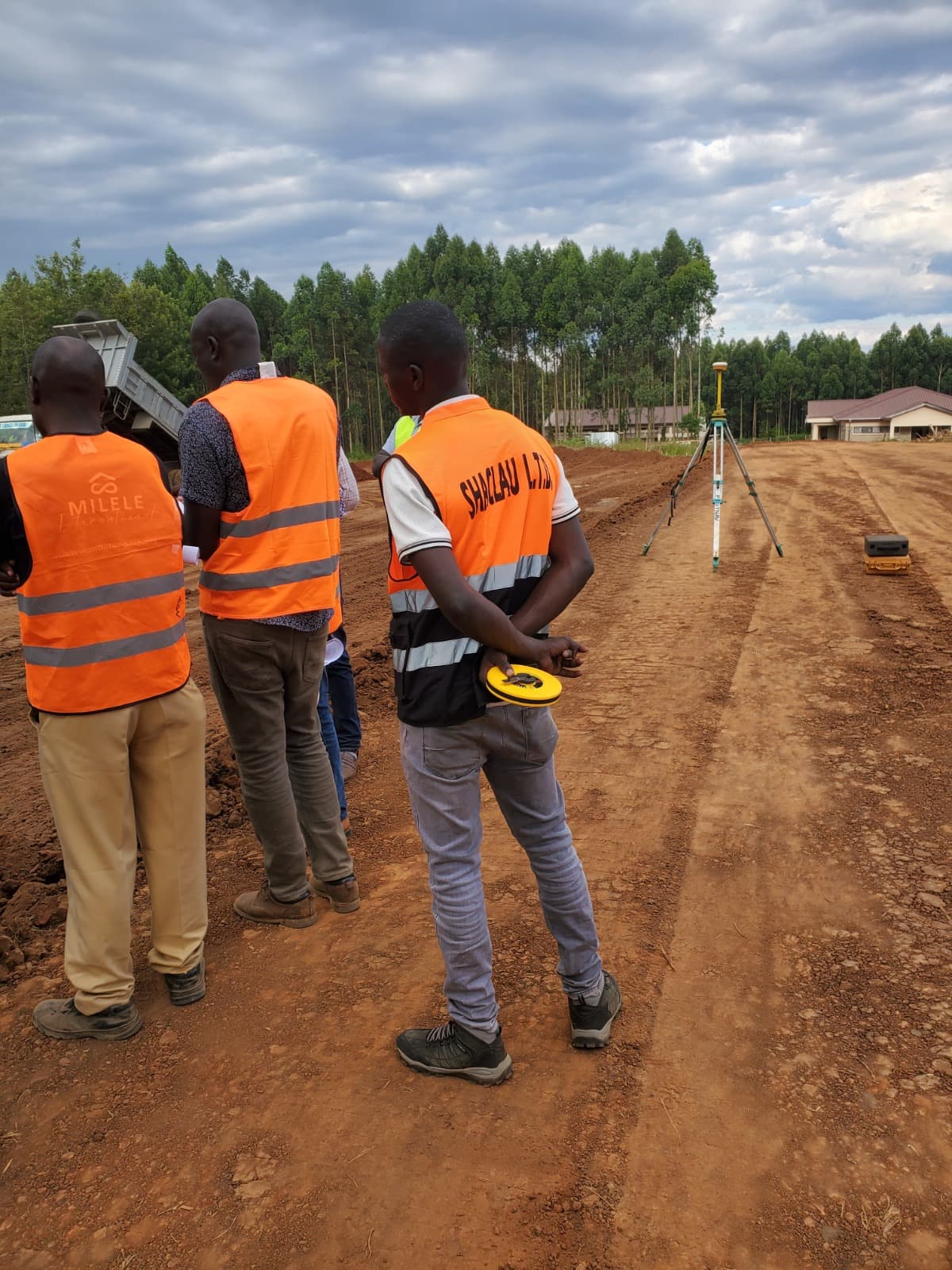
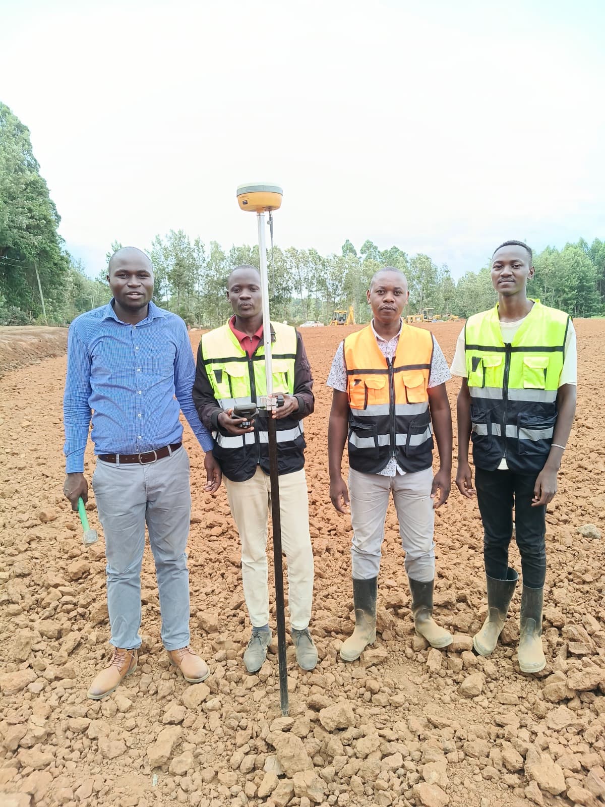
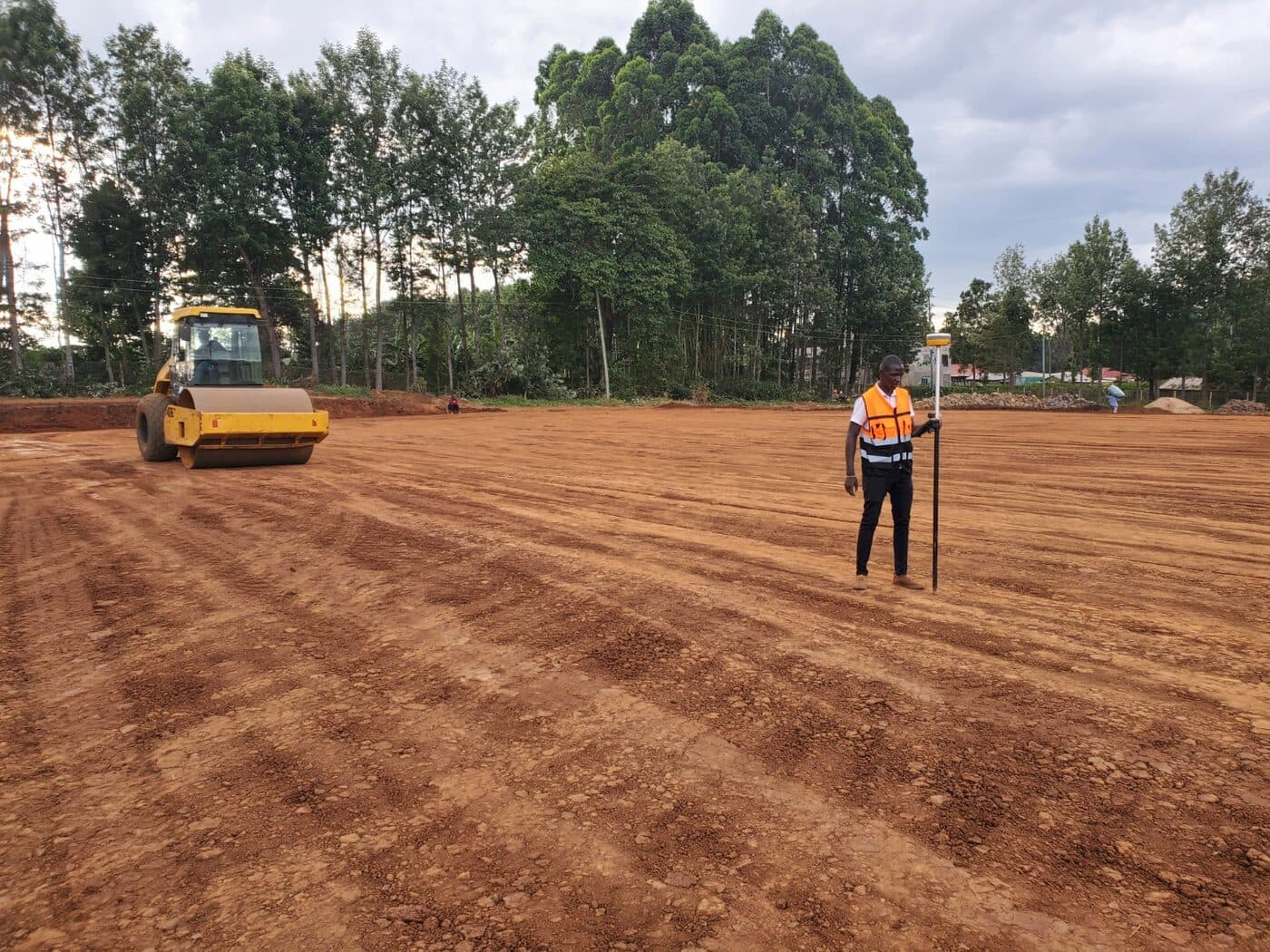
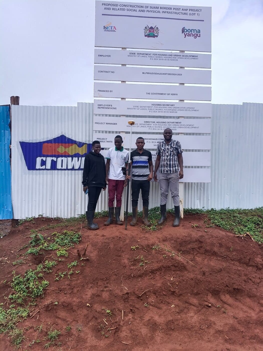
Suam Border Post Affordable Housing Programme (AHP) — photo 1
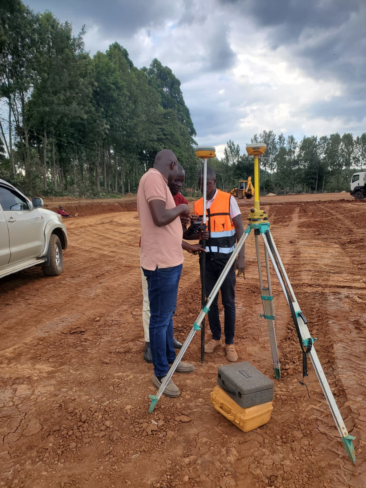
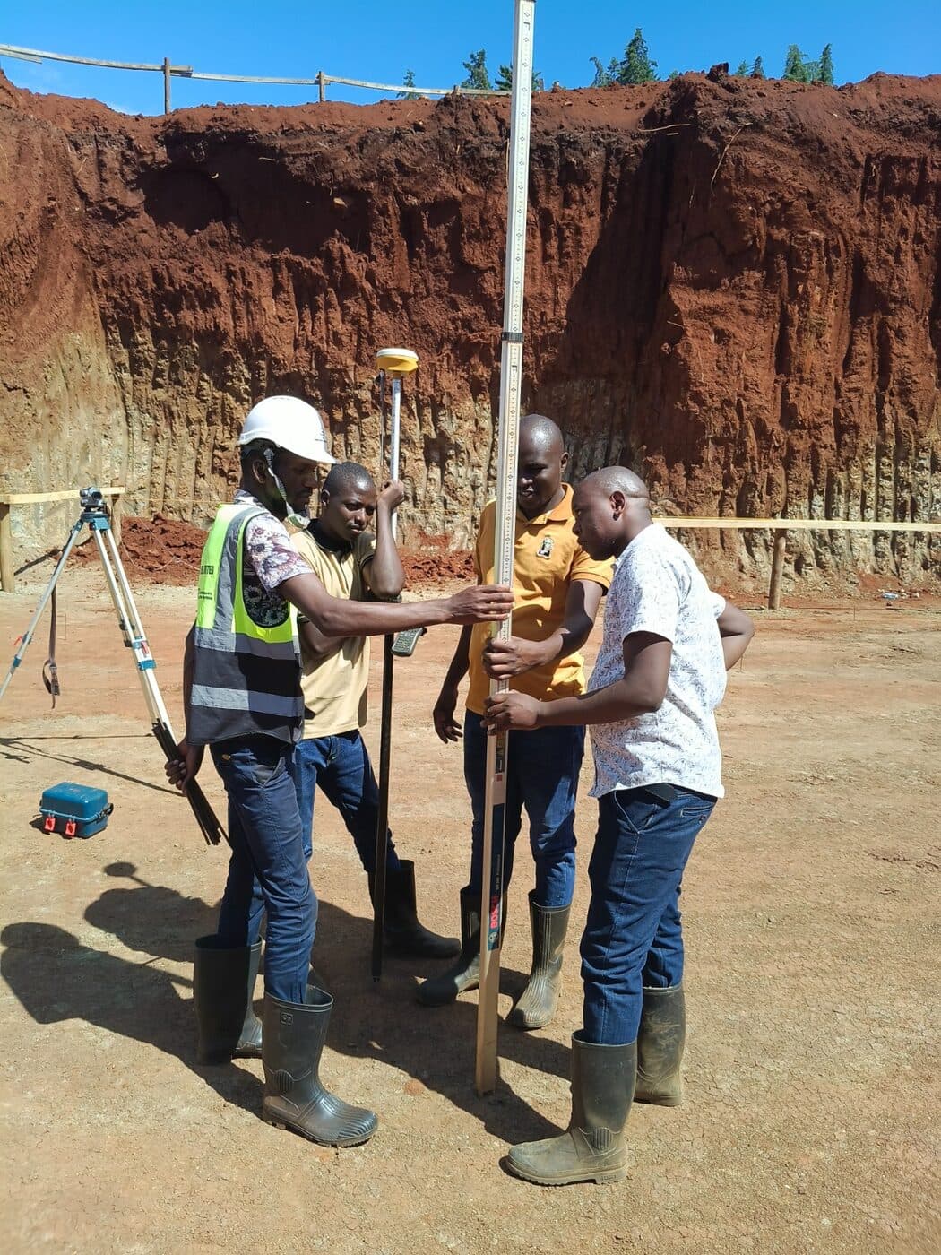
Suam Border Post Affordable Housing Programme (AHP) — photo 2
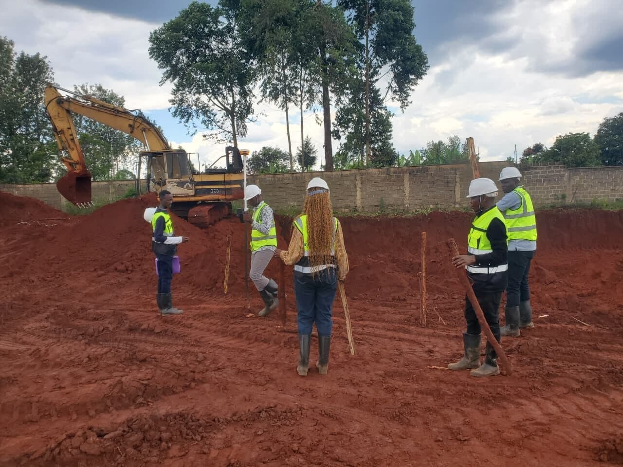
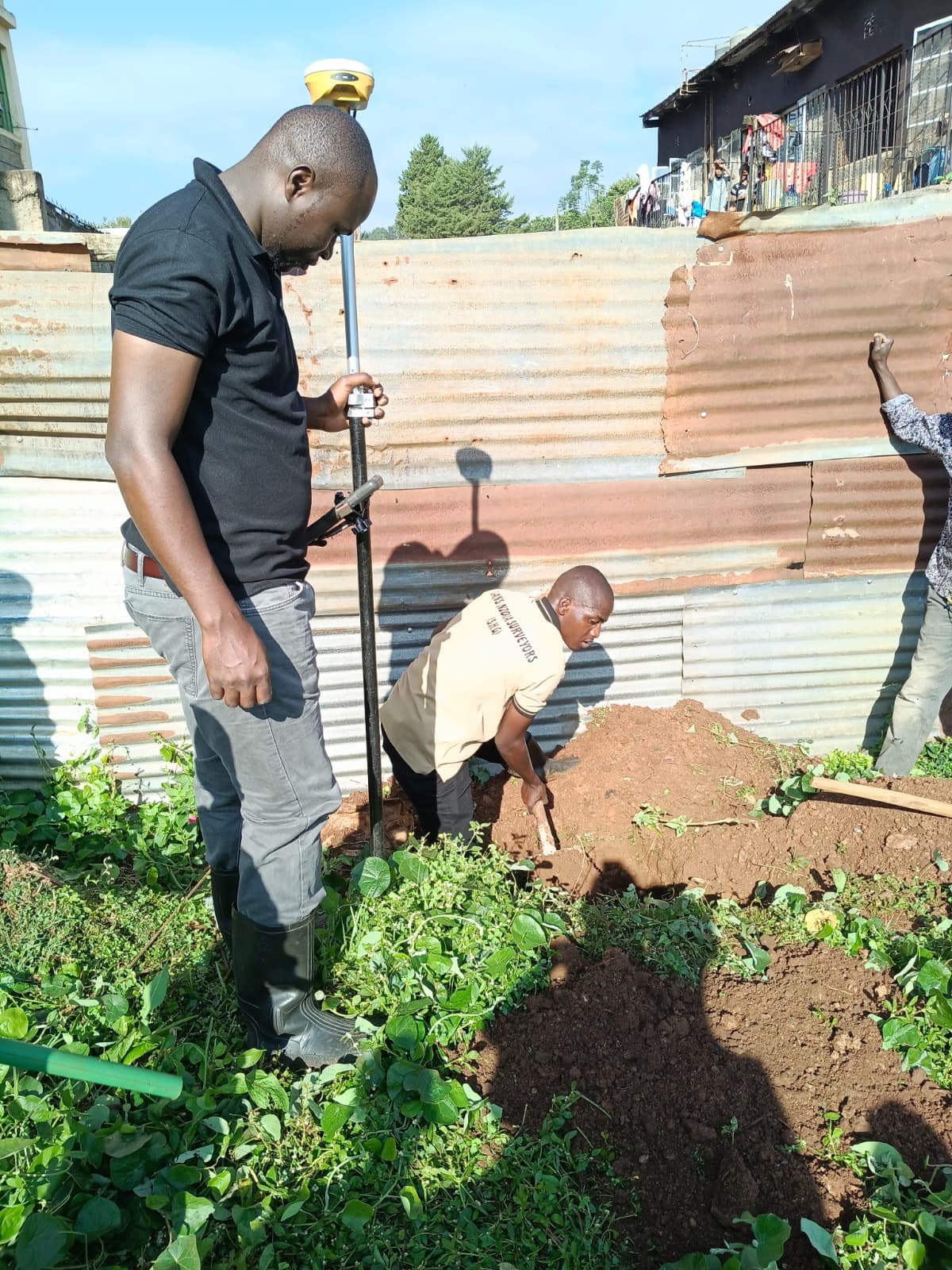
Suam Border Post Affordable Housing Programme (AHP) — photo 3
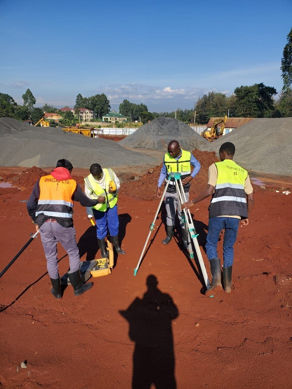
Suam Border Post Affordable Housing Programme (AHP) — photo 4
01 · Surveying and Structural EngineeringOngoing

Suam Border Post Affordable Housing Programme (AHP)

Maili Tatu, Suam, Trans-Nzoia County · National Government — Ministry of Lands, Public Works, Housing and Urban Development

Challenge

Under Kenya’s Affordable Housing Programme (Boma Yangu), the State Department for Housing and Urban Development needed the Suam Border Post site accurately set out on the ground before construction of new housing and related social and physical infrastructure could begin.

Our Approach

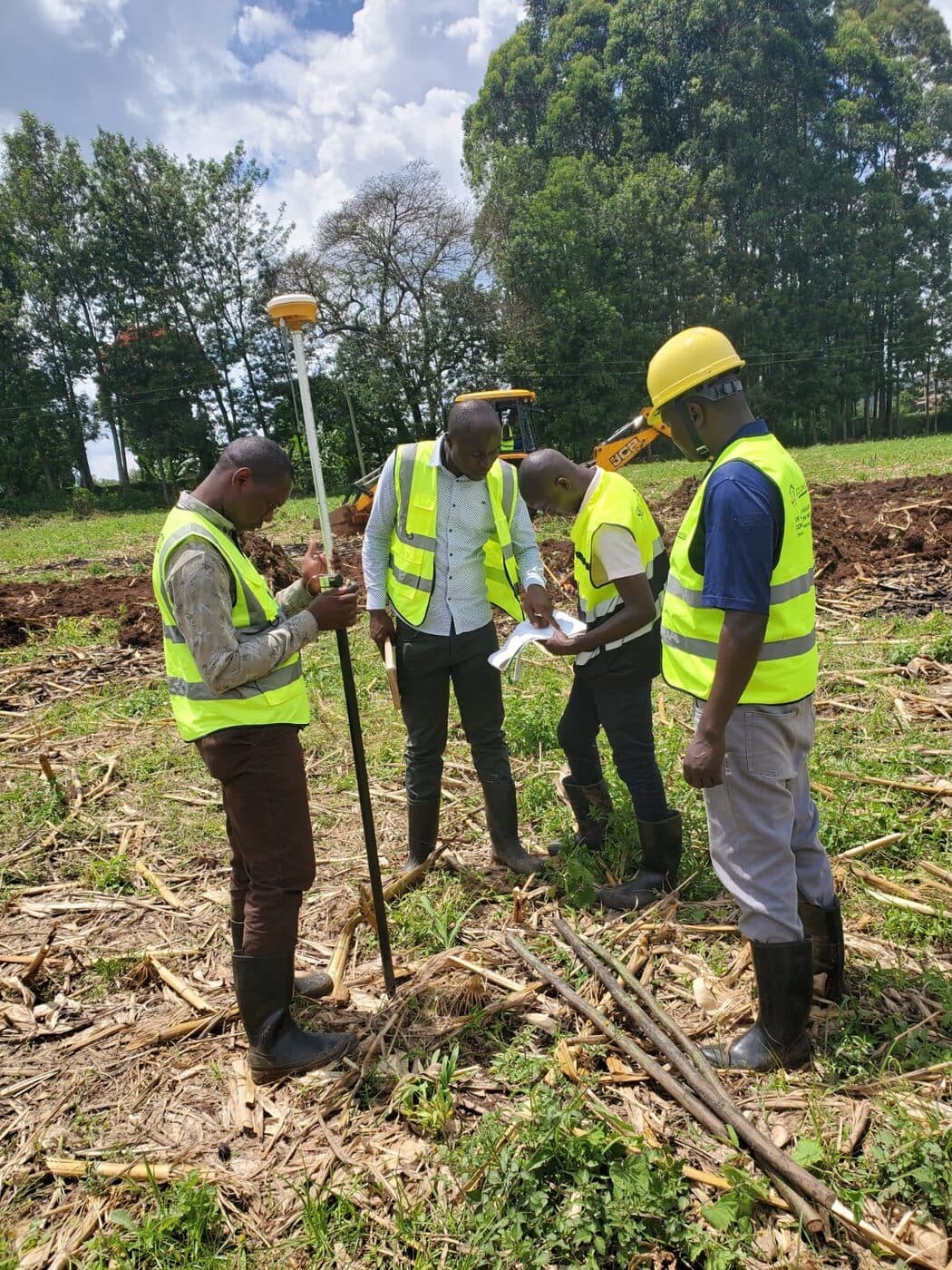
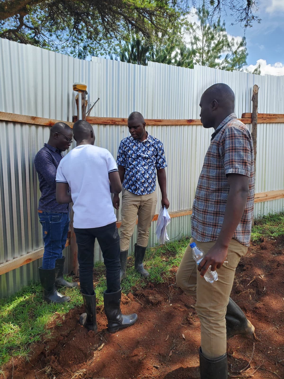
Our survey team carried out full site set-out using RTK GNSS positioning — placing beacons at boundary corners and building lines, and verifying cut-slope levels with a total station and leveling staff — directly from the architect’s design, so the construction crew could break ground with a reliable reference grid.

Outcome

Accurate plot and building layouts set out on-site under Contract No. MLPWHUD/SDHUD/AHP/580/2024-2025, allowing phased construction to proceed without costly re-measurement or boundary disputes.
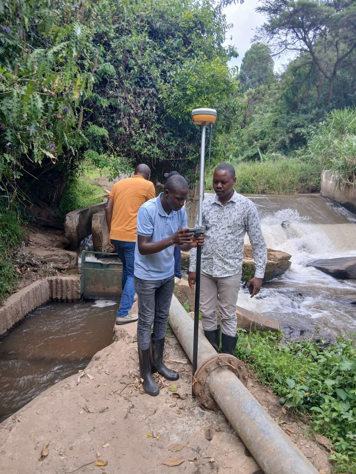
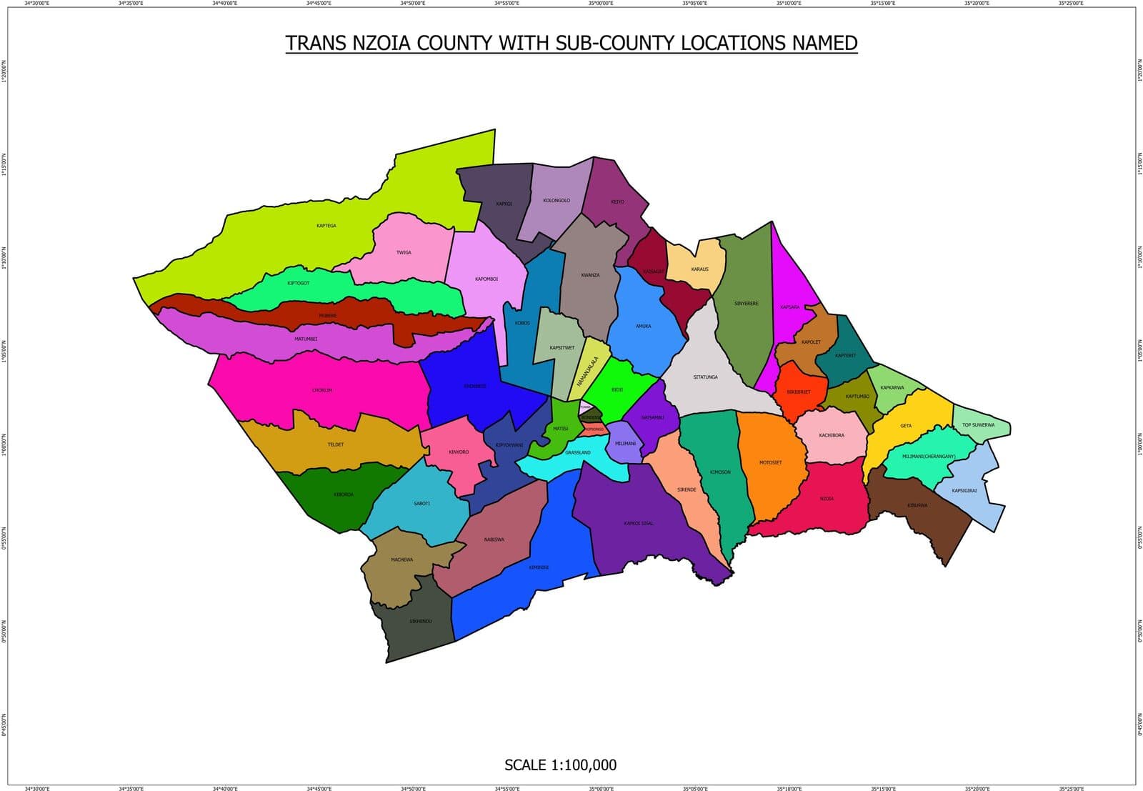
Cherangani Water Supply Layout — photo 1
Cherangani Water Supply Layout — photo 2
Cherangani Water Supply Layout — photo 3
Cherangani Water Supply Layout — photo 4
02 · Surveying and Layout DesignDone

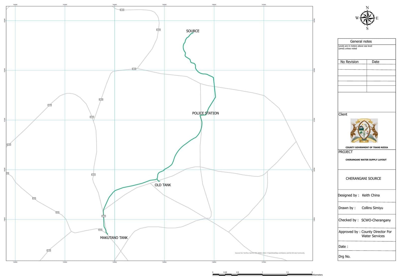
Cherangani Water Supply Layout

Cherangani, Trans-Nzoia County · Government Client

Challenge

The County Government needed a redesigned water supply layout connecting the Cherangani source to community storage tanks, replacing an outdated network with a properly surveyed and engineered route.

Our Approach

We surveyed and mapped the full pipeline corridor from the river source through to storage — via the Police Station and Old Tank tie-in points through to Makutano Tank — verifying ground levels and gradients along the route, then produced complete CAD layout and pipe profile drawings ready for construction tender.

Outcome

A fully surveyed and engineered 2.24 km pipeline route (source to tank), with construction-ready layout and profile drawings approved by the County Director for Water Services.

Change of Use — Suam Modern Market — photo 1
Change of Use — Suam Modern Market — photo 2
Change of Use — Suam Modern Market — photo 3
Change of Use — Suam Modern Market — photo 4
03 · Land AdvisoryDone

Change of Use — Suam Modern Market

Suam Modern Market, Trans-Nzoia County · Private Client

Challenge

A private landowner needed a parcel’s official land use reclassified in order to proceed with new development plans for the site.

Our Approach

We carried out site verification and boundary confirmation using RTK GNSS, secured Land Control Board consent, and liaised directly with the county planning office to guide the application through the statutory change-of-use approval process on the client’s behalf.

Outcome

Cleared the path for the client’s new development by securing the land use reclassification required to proceed.

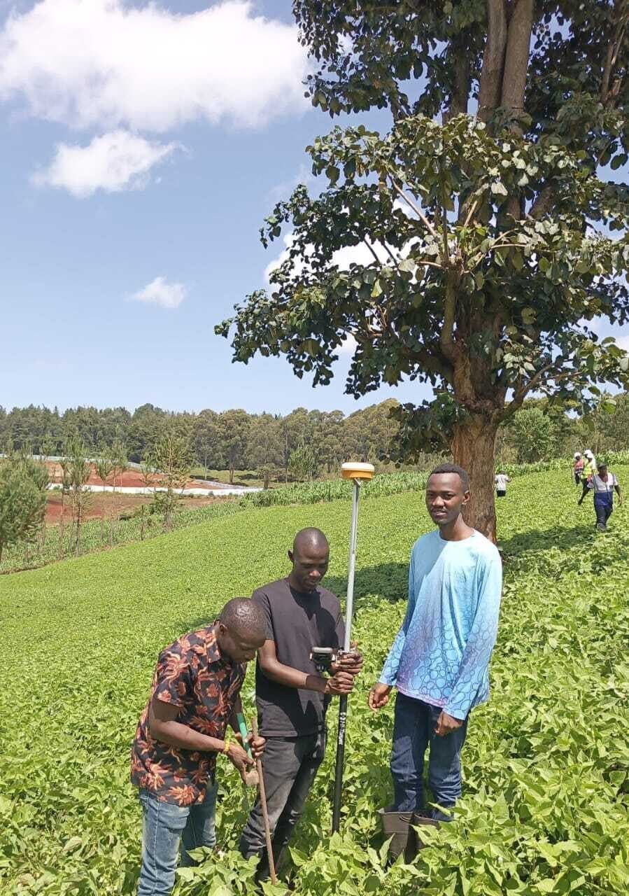
Topographical Survey & Analysis — photo 1
Topographical Survey & Analysis — photo 2
Topographical Survey & Analysis — photo 3
Topographical Survey & Analysis — photo 4
04 · Survey & GIS

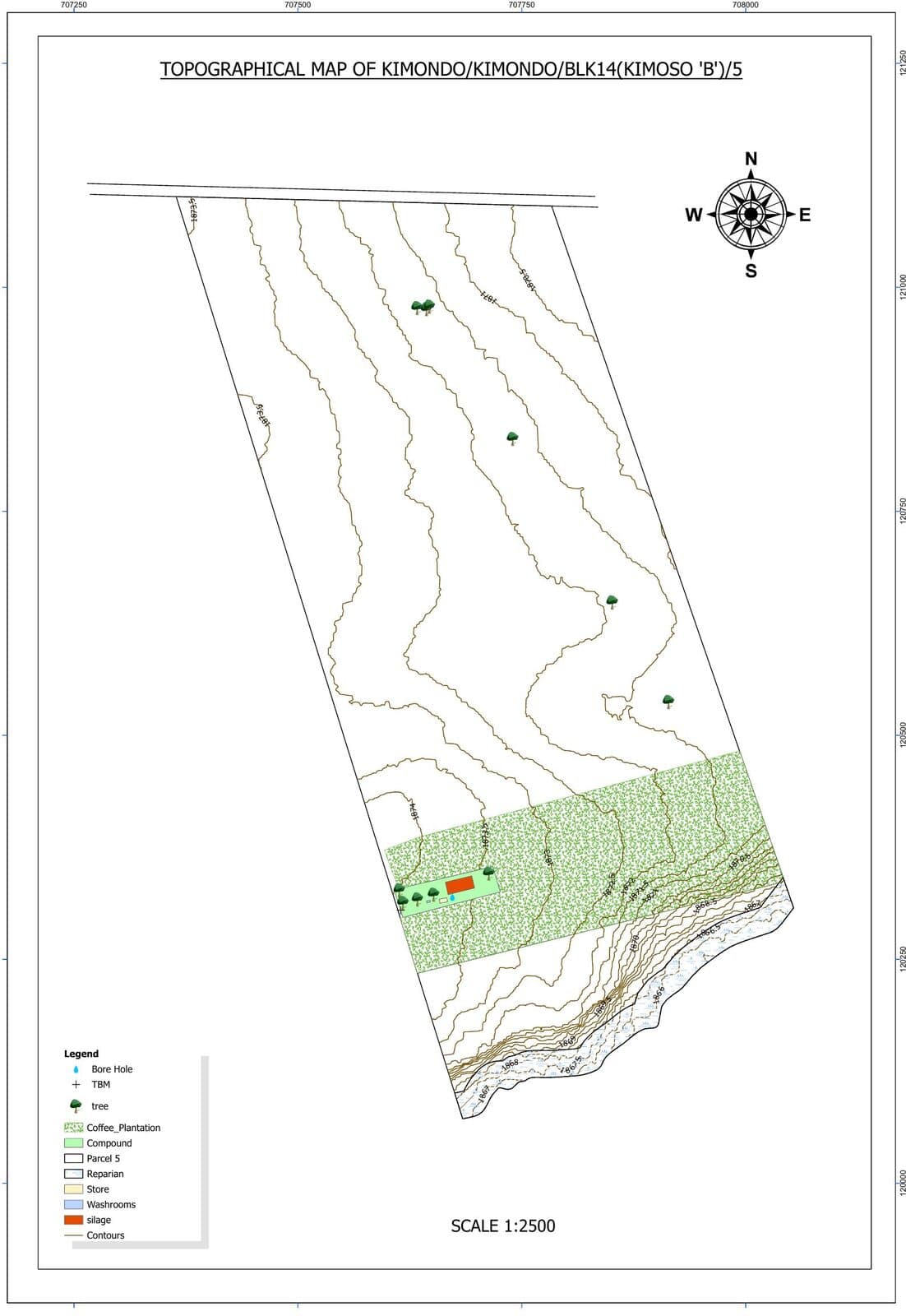
Topographical Survey & Analysis

Kimondo, Bomet · Private Client

Challenge

Detailed ground data was needed for the site before any engineering design work could begin — the client had no reliable topographic record of the land.

Our Approach

Our survey team carried out an RTK topographic survey capturing ground levels, contours, and site features — including boreholes, tree cover, and existing structures — then processed the data into a full contour map and CAD basemap.

Outcome

Delivered a titled topographic map (Kimondo/Kimondo/BLK14, Parcel 5) at 1:2,500 scale, giving the client’s design team a reliable ground-truth basis for further planning.

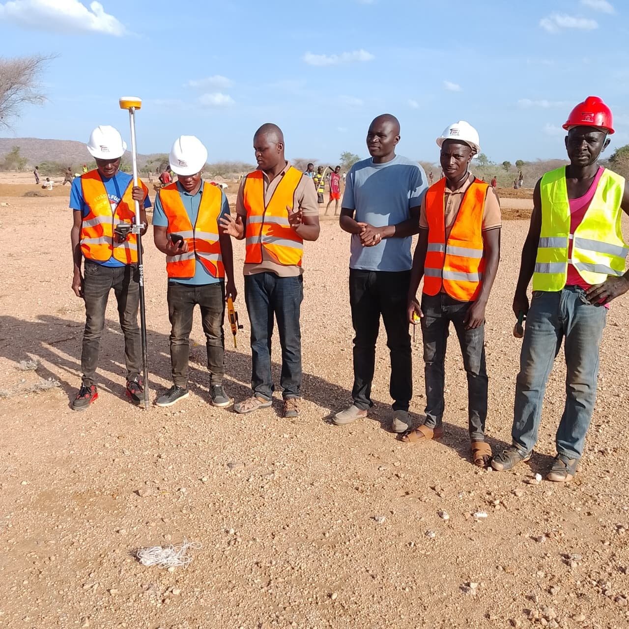
Setting Out — photo 1
Setting Out — photo 2
Setting Out — photo 3
Setting Out — photo 4
05 · Survey & GIS

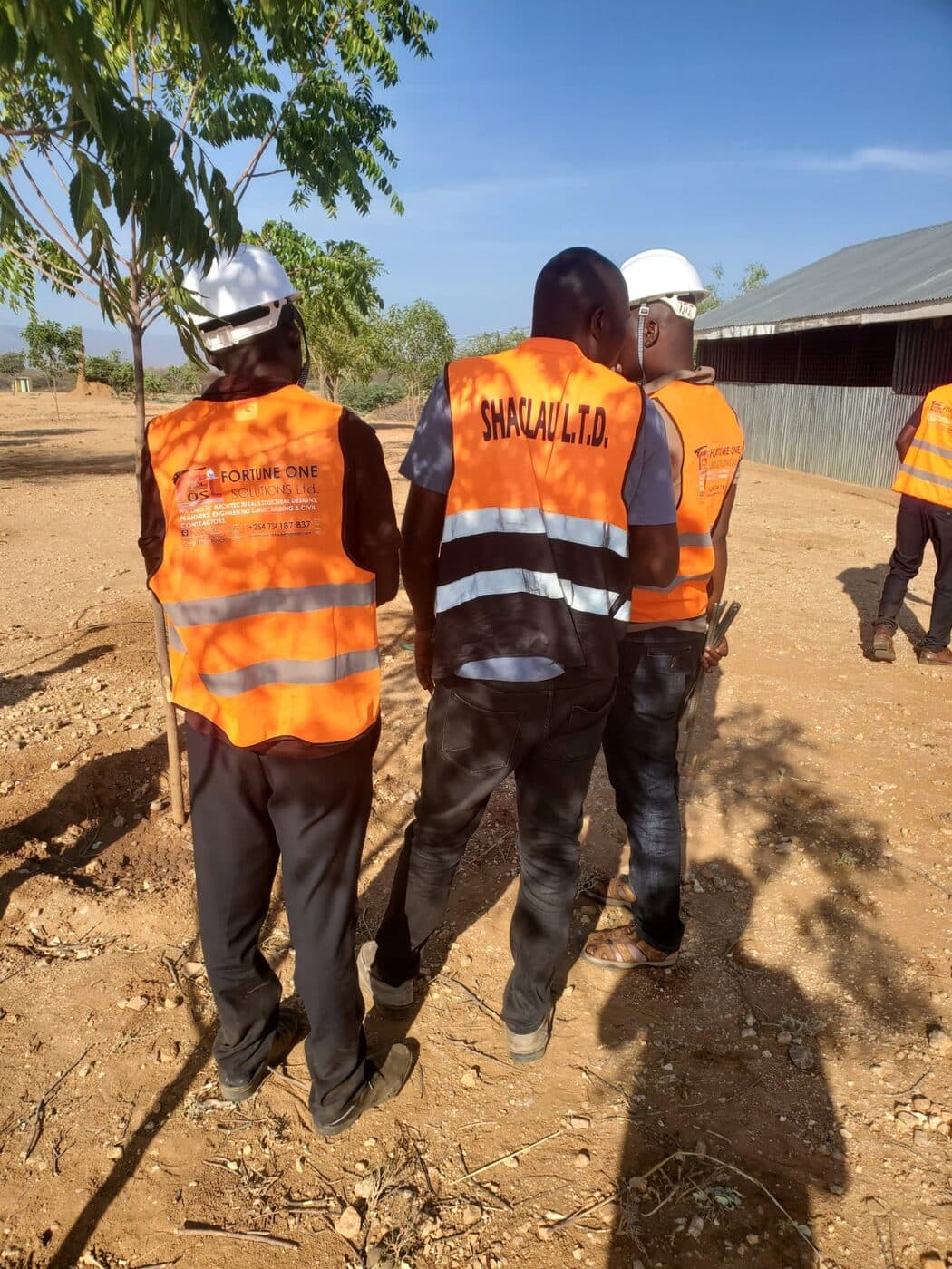
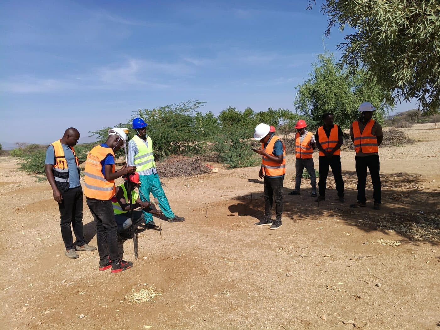
Setting Out

Turkana · Private Client

Challenge

A construction project in Turkana required precise staking out of the architectural design on site before building work could begin.

Our Approach

Working alongside partner firm Fortune One Solutions Ltd, our survey team used RTK GNSS to stake out the architectural design directly on the ground, translating design drawings into physical reference points for the construction crew.

Outcome

A fully staked-out site, giving the construction team accurate physical reference points matching the architectural design.

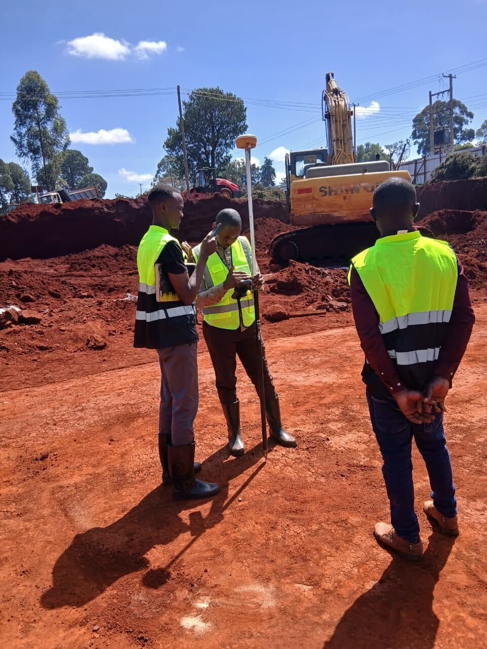
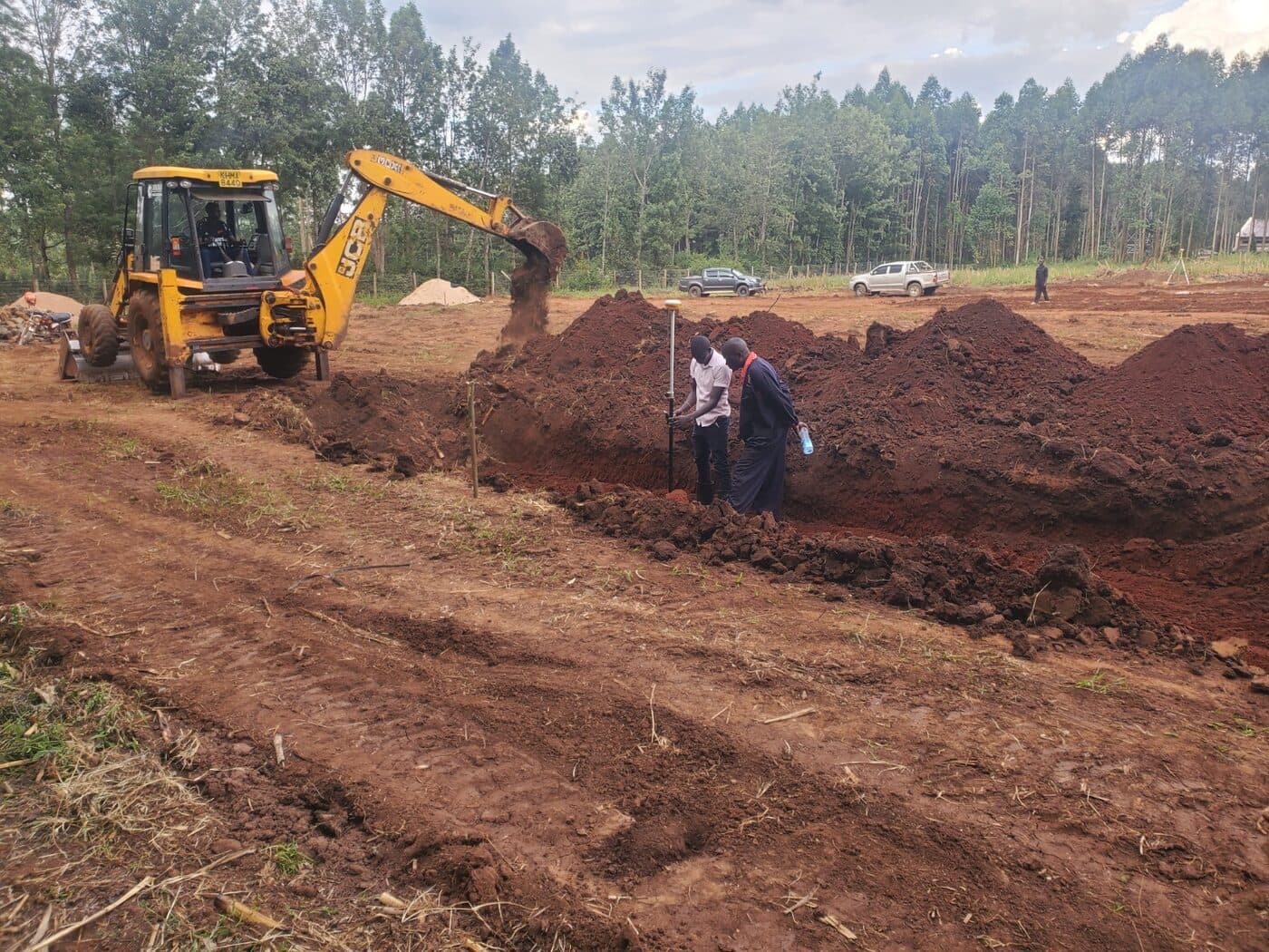
Leveling — photo 1
Leveling — photo 2
Leveling — photo 3
Leveling — photo 4
06 · Survey & GIS

Leveling

Amagoro School, Trans-Nzoia · Private Client

Challenge

Amagoro School needed ground levels checked and analyzed across the site — particularly around new trenching and earthworks — before construction could proceed safely.

Our Approach

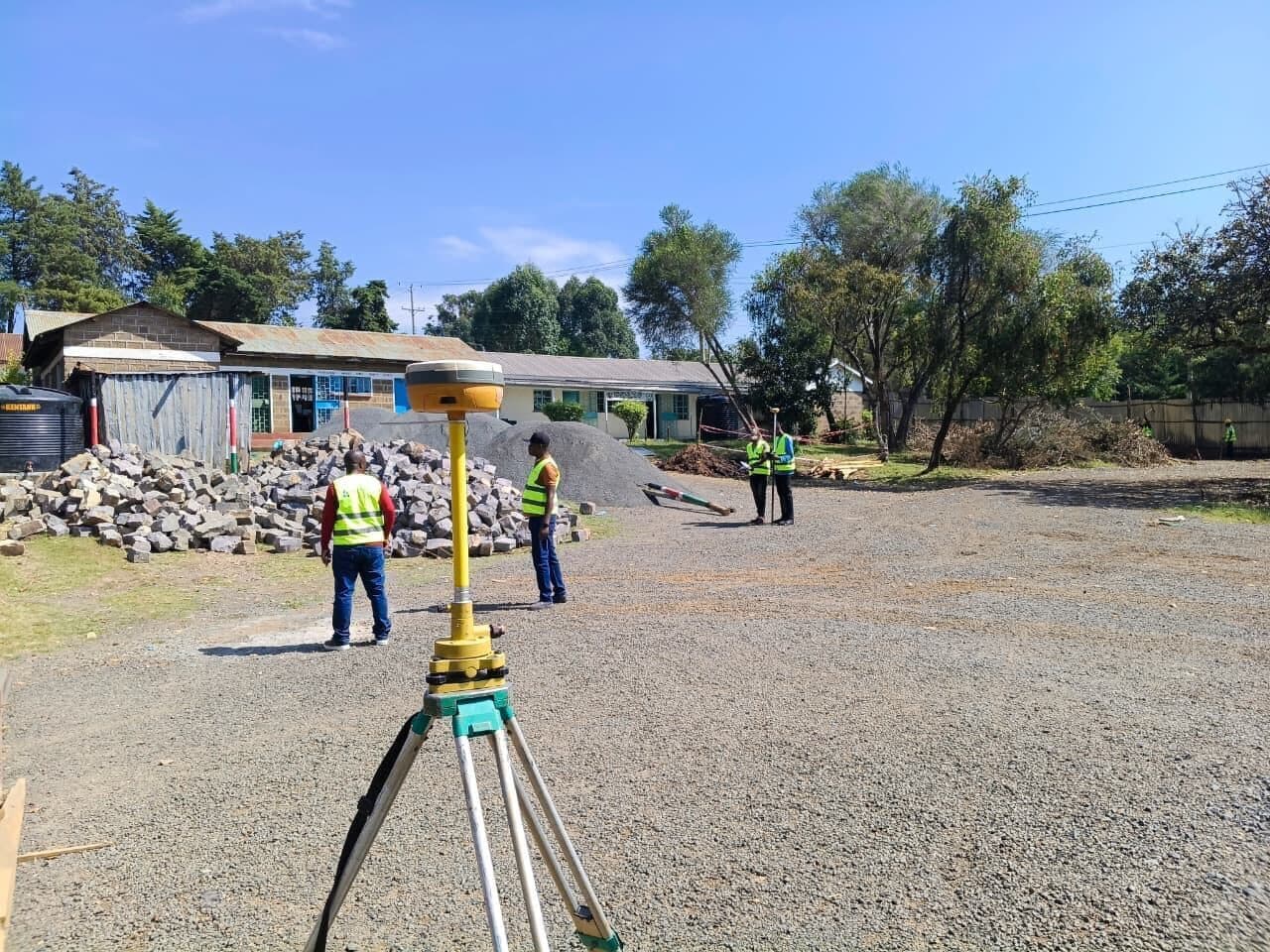
Our team carried out a detailed leveling survey using RTK GNSS, verifying ground levels during active excavation and grading, and checking compaction as the site was rolled and prepared for construction.

Outcome

Verified, accurate level data delivered throughout construction, giving the site team confidence in cut depths, grading, and compaction as work progressed.

Have a project in mind?

Tell us about it and we'll let you know how we can help — from a single boundary survey to a full multi-discipline project.